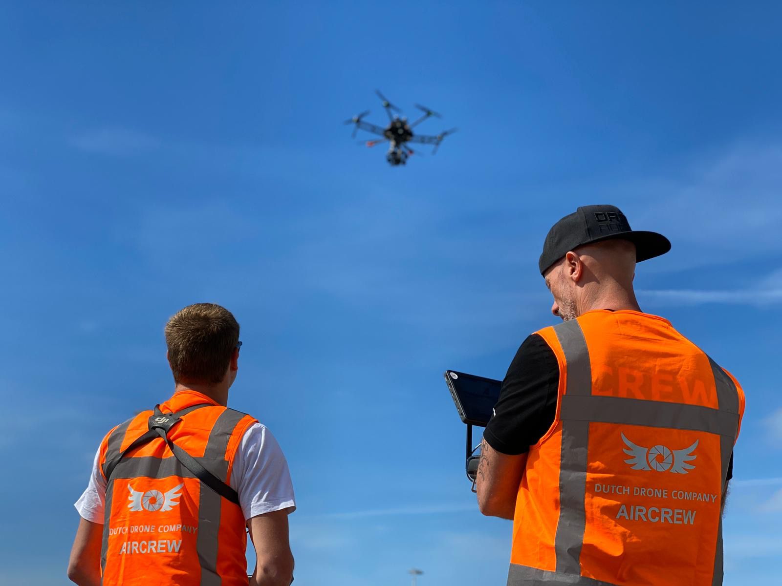
MAPPING & GEO SERVICES
Small or large scale surveying, including volume, height and depth measurement and creation of Digital Terrain Modelling. Depending on requirements various measurement solutions provided including Drones, Fixed Wing UAV's, mobile and traditional fixed point surveying.